

Northland’s tsunami evacuation maps have been updated with more accurate modelling and information. Northland Regional Council says the new maps better reflect how tsunamis are expected to behave as they travel across the ocean and reach New Zealand’s coastline and are easier to understand.
Northland Civil Defence Emergency Management(NCDEM) Group Chair, Kelly Stratford, is encouraging Northlanders to view the updated evacuation maps at www.nrc.govt.nz/evacuationzones to see if they live, work, or play in a tsunami evacuation zone and plan or revise their quickest route to safety.
“The new modelling shows that the areas at risk from damaging tsunami may be affected differently from previous models. In many cases, the potential effects may not reach as far inland as previously expected,” says Mrs Stratford.
“The new tsunami wave modelling is based on the latest data, scientific evidence, and modelling technology. This method is now the standard and used in other regions in New Zealand and around the world. The goal is for this information to enable Northlanders to understand the risk to their property and community so they can plan accordingly.
“Even though the effects might not reach as far inland, the coastal risk for the region remains high. So, those in coastal communities or anyone enjoying the beaches and marine areas of Taitokerau need to remain prepared for the risk of tsunami.”
Due to its unique geography, the Northland region is considered to have one of the highest vulnerabilities to tsunami hazards in the country. Because of this, Northland was one of the first regions to implement a three-zone tsunami evacuation plan, with tsunami inundation maps and models over 10 years ago.
This project also complements the recent upgrade of the Northland tsunami siren network. Although some areas are now less at risk of tsunami inundation, the new sirens still cover important at-risk coastal regions.
“Even though the effects might not reach as far inland in some places, the coastal risk still remains high, and those in tsunami evacuation zones are still at risk. Therefore, it’s crucial to have good sound coverage in these areas. The new siren placement ensures that not only the new evacuation zone is covered, but people near the zone or moving towards it can also hear the warnings and stay away from the coast and potentially affected areas,” says Mrs Stratford.
“Investing in both this improved modelling and advanced warning systems like the newly updated tsunami sirens, are all part of our comprehensive approach to tsunami preparedness in Northland.”
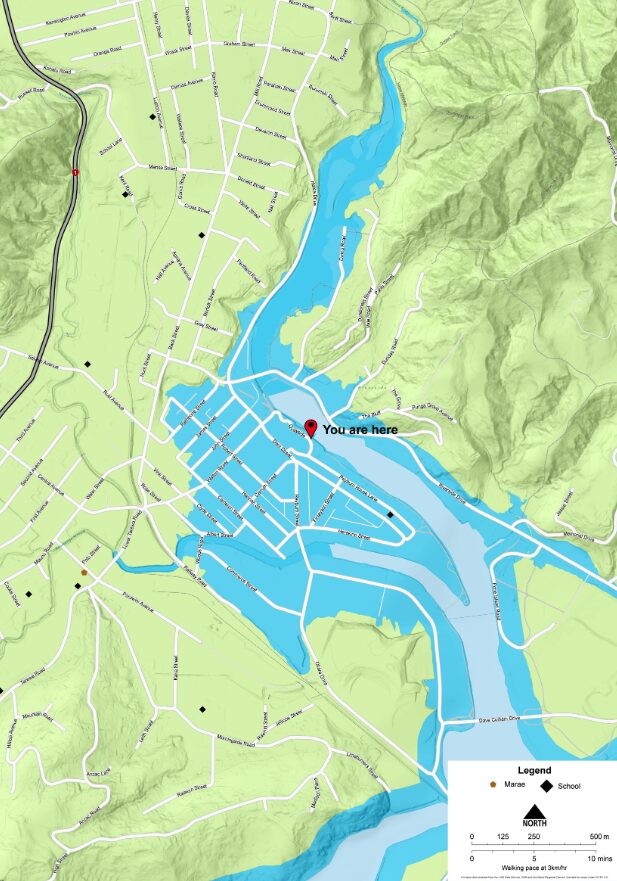
“The new maps will also be easier to understand, moving from a three-colour system to a single colour system. The new maps replace all the colours of the rainbow on the previous maps with one zone colour, blue. This means, if your home, workplace, school, marae, or somewhere you visit regularly is in the blue zone, in a tsunami, get out of the area. Head inland or to higher ground.”
The single evacuation zone is coloured blue to symbolise where water could reach in a tsunami.
Remember:
-BLUE means GO – In a tsunami warning, get out of the blue. Knowing your evacuation zone in advance is really important so you can plan and understand your evacuation route.
-If an earthquake is Long or Strong: Get Gone. Don’t wait for an official warning to evacuate. Head to higher ground or further inland.
-Be prepared. Check tsunami preparedness tips and what to do before, during, and after a tsunami at: https://getready.govt.nz/emergency/tsunami.

 Battalion Memorial Scholarships announced")