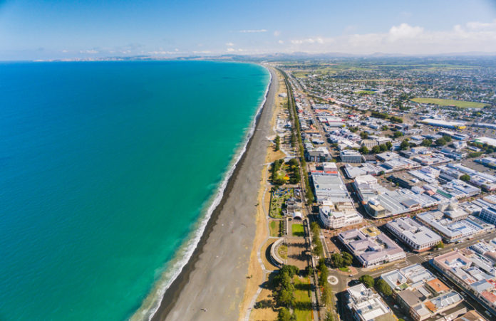
A new coastal inundation study that will be used by the Napier and Hastings councils to set residential building floor heights in areas at risk of coastal flooding is expected to be completed by early next year.
Jointly commissioned by Hastings District Council, Napier City Council and Hawke’s Bay Regional Council, the new study will cover 42 kilometres of coastline, from Clifton to Tangoio, be prepared using one in 50-year and one in 100-year inundation likelihoods, and covers the next 80 years.
Modelling will include waves, storm surge and predicted sea level rise, Hastings District Council said in a statement.
“Until now, the only information available to councils has been coastal inundation hazard layers, prepared by Hawke’s Bay Regional Council in 2015 for emergency preparedness,” the Council said.
“Given councils are required to use the most up-to-date information on hazards available when setting building rules, that report has been relied upon by Hastings District Council to set building floor heights in the Haumoana and Te Awanga coastal areas.”
Hastings District Council General Manager of Planning and Regulatory Services, John O’Shaughnessy said the new report would take into account information, reports and Government ministry guidance updated since the HBRC’s 2015 modelling.
The modelling being used by environmental engineering company Tonkin and Taylor is expected to provide ‘more refined’ information, than that provided by the HBRC hazards information, he said.


