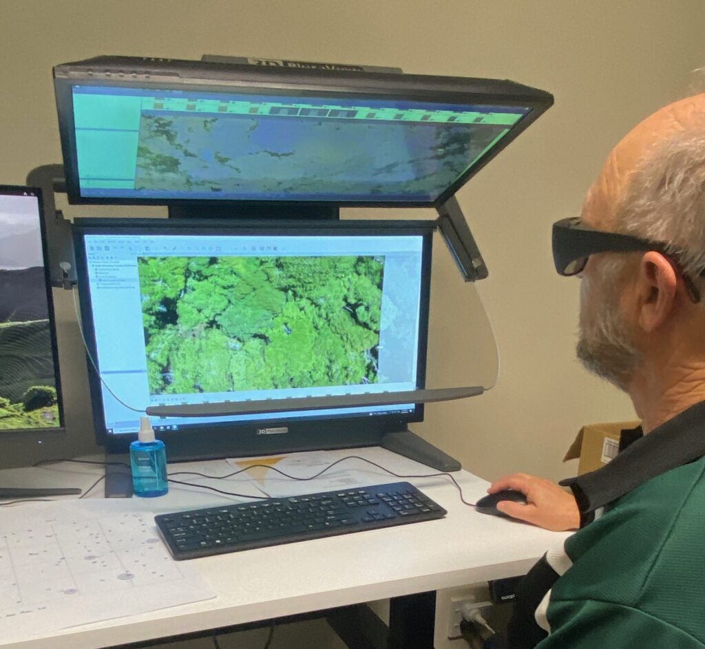
The Department of Conservation (DOC) says ‘deep learning’ is set to supercharge its work, allowing researchers the ability to count and identify every single tree in a forest.
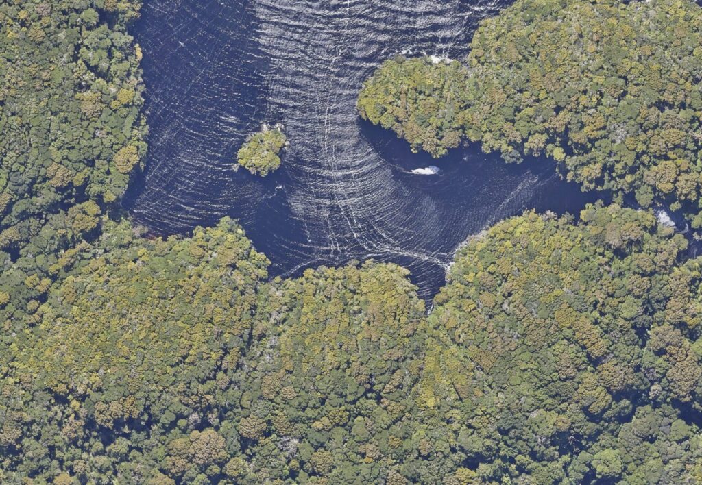
Using advanced high-resolution aerial photography, scientists can now accurately identify some of New Zealand’s most important tree species with data collected from aircraft flying above the canopy. Laser imagery (LiDAR) is also being used to determine the height and shape of individual trees.
LiDAR uses lasers to produce high-definition, 3D images of a landscape including the vegetation, while deep learning uses computer models of data ‘features’ to learn patterns from large data sets so objects of interest, such as trees in this case, can be classified automatically.
DOC Principal Science Advisor, Terry Greene says the technology is enabling work not previously possible.
“Identifying the species and height of individual trees in a large forest covering many hectares would be impossible to do from the ground, as the time required and the cost would be huge,” he says.
DOC and the Ministry for Primary Industries are funding the development of remote sensing methods – such as high-resolution photography and laser imagery – for New Zealand’s forests, as part of research programmes looking at ways to measure and manage carbon stocks in forests.
The technology uses deep learning to synthesise multiple layers of complex information and turn it into simple, usable data on forests.
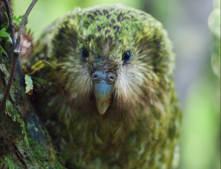
The technology is already helping the critically threatened kākāpō.
“As part of our testing, we used remote sensing to understand environments on islands inhabited by the critically threatened kākāpō,” said Mr Greene.
“By using this imagery and a data analysis method developed by scientists at the Bioeconomy Science Institute, we estimate that Whenua Hou/Codfish Island has around 865,000 trees, and over 200,000 are rimu. Trees such as rimu are important because their periodic fruiting – or masting – drives kākāpō breeding.
“Now we know exactly where these rimu are, we can study how kākāpō are using them, which will support the work to find new, suitable homes for them in the future,” he said.
The testing also revealed for the first time that Pukenui/Anchor Island has more than 1.2 million trees.
The Department says remote sensing technology will help it make better, more targeted conservation efforts over large areas by significantly improving assessments of forest canopy health, seasonal changes in forest productivity, and the amount of carbon stored in forests, shrublands and grasslands.