Wellington City Council is using ground-penetrating radar technology to test rock and ground conditions in its work to design stronger sections of seawall and new bike and walking paths at Evans Bay.
Council says use of the new technology will help build a more accurate picture of what lies below the surface.
“It is used to develop the most appropriate design and construction methodology, and helps reduce the likelihood of unexpected challenges,” it said in a statement.
Depending on ground conditions, the scanning equipment can provide information to a depth of up to 20 metres.
The investigative work between Weka Bay and Little Karaka Bay is part of developing safe walking and riding routes that will be part of Paneke Pōneke, a citywide network, and Te Aranui o Pōneke/the Great Harbour Way.
The improvements will make it easier to get around in low carbon ways, and will also make this section of coastline more resilient to storms and sea-level rise, Council said.
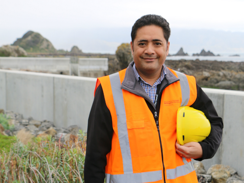
Council engineer and project manager, Jone Sumasafu says the work being carried out will help reduce the possibility of coming across unmapped underground services and inconsistent ground conditions.
“Finding something unexpected is always possible, but the more we know in advance the better.”
Over coming weeks, contractors will be extracting core samples of earth at spots in Balaena Bay, Little Karaka Bay and Weka Bay to a depth of up to eight metres, and then making the area safe again by refilling the holes. Geologists from Jacobs will analyse the earth and rock samples, Council said.
Two different mobile drilling rigs will be used – the smaller of the two on the shore, and the larger one on the footpath or road. Narrow trenches will also be dug in a few locations. The below-ground imaging equipment, which makes use of electromagnetic energy, will be on a small trolley.
The work will be complete by mid-January weather permitting, with a break between 23 December and 9 January.
The below-ground study follows an aerial (drone) survey last month, which was carried out to gather accurate information on terrain, levels and above-ground features including rocks and vegetation, particularly in hard-to-reach areas.